
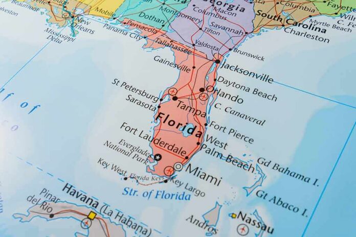
Tropical Storm Isaias formed off Mexico’s coast this week, and the National Hurricane Center says it will likely grow into a hurricane before slamming into the U.S. Gulf Coast.
Story Snapshot
- Tropical Storm Isaias formed early this week in warm waters off eastern Mexico.
- The National Hurricane Center expects the storm to become a hurricane by Thursday.
- Forecasters warn of rapid strengthening over the next one to two days.
- Gulf Coast residents from Louisiana to Florida are watching the storm’s track closely.
Storm Forms Off Mexico’s Coast
Isaias formed early Wednesday in the warm waters off eastern Mexico. The storm sat about 285 miles west of Progreso, Mexico, and roughly 580 miles southeast of the Gulf Coast, according to the National Hurricane Center. At that point, Isaias carried maximum sustained winds near 40 mph and was moving toward the west-northwest.
Government forecasters had been tracking the system for days before it earned a name. The National Weather Service noted a tropical depression was likely to form over the Gulf region, with more strengthening possible as it pushed northeastward later in the week. That early warning gave coastal communities a head start to prepare.
Forecasters Warn Of Rapid Strengthening
The National Hurricane Center’s public advisory left little doubt about what comes next. “Rapid strengthening is forecast over the next day or two, and Isaias is expected to become a hurricane by Thursday,” the agency stated in its official advisory. That kind of direct, confident forecast language is rare and signals forecasters see strong atmospheric conditions lining up to fuel the storm.
Weather trackers watching the system described an “alleyway” forming over the Gulf, pushed along by upper-level weather patterns over the Lower 48 states. That pattern could steer the storm anywhere from Louisiana to Florida by the end of the week. The exact landfall point remained uncertain, but the broad threat zone covered hundreds of miles of coastline.
Gulf Coast Communities Brace For Impact
Emergency planners along the Gulf Coast now face a familiar late-summer scramble. Storms that strengthen quickly near the coast give residents and businesses less time to prepare than ones that build slowly over open ocean. The National Hurricane Center continued issuing updated advisories as the storm’s track sharpened, a standard practice for fast-moving systems threatening populated areas.
History offers a reminder of how unpredictable these storms can be. A past storm carrying the same name eventually made landfall in North Carolina as a Category 1 hurricane after a path that shifted repeatedly along the Eastern Seaboard. Storm tracks can change significantly in just a few days, which is why forecasters stress watching updates rather than a single early map.
Understanding The Forecast Cone
Much of the public debate around hurricane threats centers on the “cone of uncertainty,” the graphic showing a storm’s likely path. The cone is built from the past five years of forecast errors and is designed to capture about two-thirds of possible center-track outcomes, not the full area that could feel impacts. Research from the University of Miami found many Floridians mistakenly read the cone as a damage zone rather than a track estimate.
#ALWx / #FLWx / #MSWx
HURRICANE Isaias / Isaias
NWS National Hurricane Center Miami FL
100 AM CDT Thu Oct 08 2026…MULTIPLE HURRICANE HUNTER AIRCRAFT INVESTIGATING ISAIAS AS IT
MOVES EAST-NORTHEASTWARD…
…ADDITIONAL INTENSIFICATION EXPECTED…SUMMARY OF 100 AM… pic.twitter.com/haV3K17bsN
— Hurricanes • Typhoons • Cyclones (@GlobalCyclones) October 8, 2026
That confusion matters because broad Gulf-threat warnings often draw criticism after the fact, even when the underlying science held up. The National Hurricane Center is testing an updated cone graphic this season that uses ellipses instead of circles, aiming to better show both speed and directional uncertainty in a storm’s path. Officials hope the change helps the public understand risk zones more clearly as Isaias and future storms approach land.
For now, the forecast is straightforward even if the final landfall spot is not. Isaias is gaining strength, hurricane status looks likely within days, and the Gulf Coast remains the primary area of concern. Residents from Louisiana to Florida are being urged to track official updates as the system closes in on the coast later this week.
Sources:
washingtontimes.com, nhc.noaa.gov, weather.gov, abc7.com, en.wikipedia.org